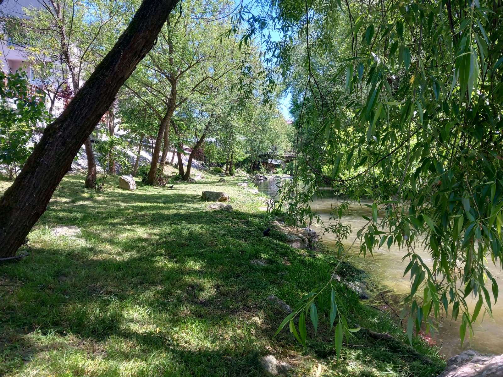
Đetinja Biodiversity
The Đetinja riverbank between Užice and Sevojno is not merely a passage through town — it is a narrow, unbroken corridor where wet habitats at the water’s edge, scrub on the embankment and dry slopes above the riverbed alternate within a few hundred metres. The photographs below were taken during BioRider field surveys. Every species was recorded on the bank, in the water, or immediately above it.
Plant life
50
Animal life
40
Spotted something interesting on the bank?
Mark the spot on the participatory map — citizen records go into the same database as the field surveys.
🗺 Open the participatory map